Before the Road
Dispatch from the Middle Fork of the Koyukuk
By Mary Glaves, Alaska Program Manager, Backcountry Hunters & Anglers
There are still places in Alaska where the landscape—not the clock—sets the pace. Along the Middle Fork of the Koyukuk River, travel depends on water levels, weather, and a willingness to adapt. Gravel bars become campsites. Rising rivers determine where you sleep. Wildlife appears on its own schedule, not yours.
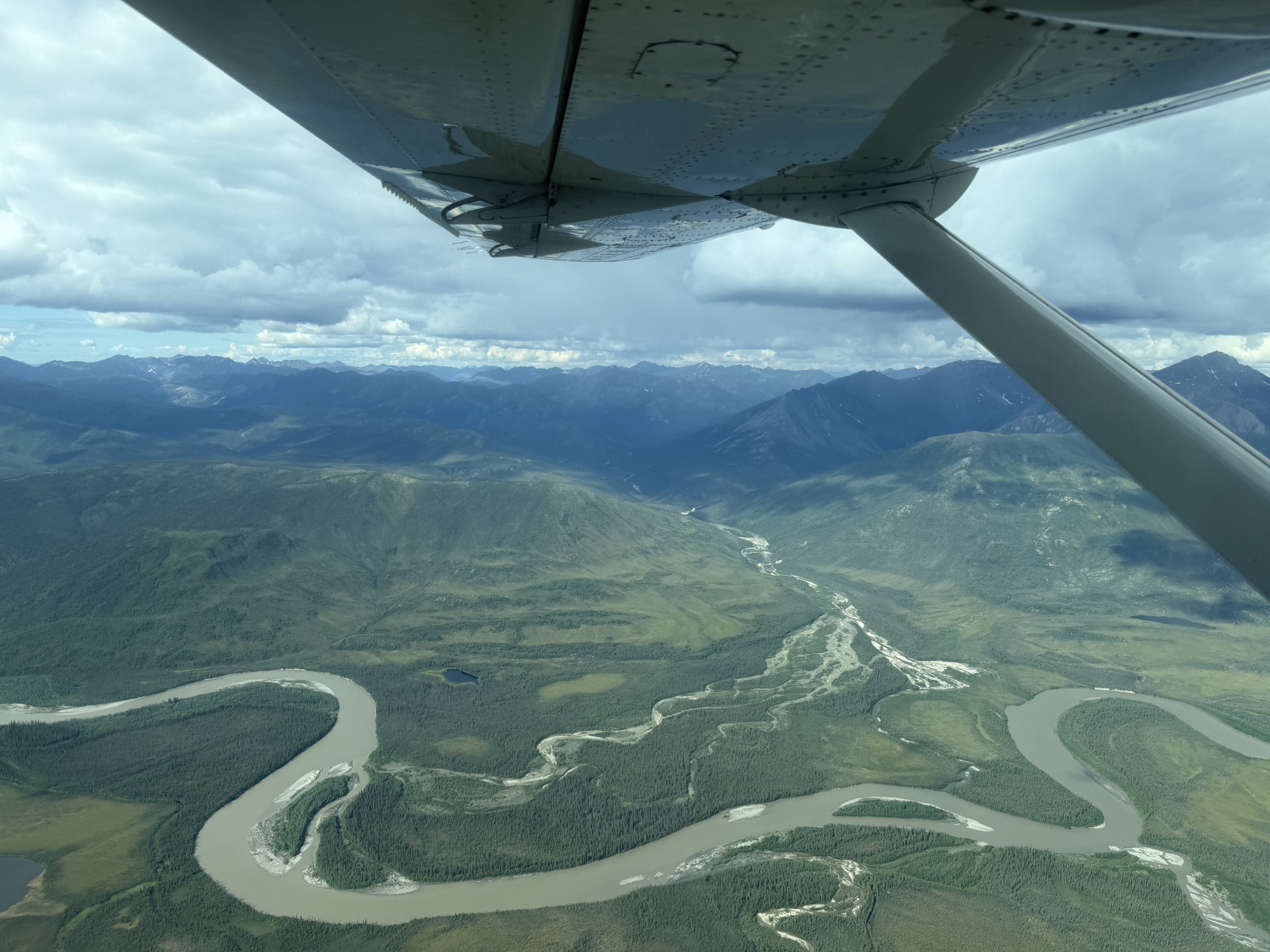
This summer, a small group of Backcountry Hunters & Anglers staff from Alaska and Washington D.C., members, and folks committed to conserving wild public lands, traveled north on the Dalton Highway before launching onto the Middle Fork for a week-long float through the southern Brooks Range. The trip was part wilderness adventure, part opportunity to document a landscape receiving increasing attention as planning and field work continue around the proposed Ambler Industrial Private Road.
Like many Alaska trips, our plans were intentionally flexible. We packed fly rods for Arctic grayling, tackle for northern pike, bear tags, and enough food to adapt to whatever the country offered. In Alaska's backcountry, success is often measured less by what you accomplish than by your willingness to go with the flow.
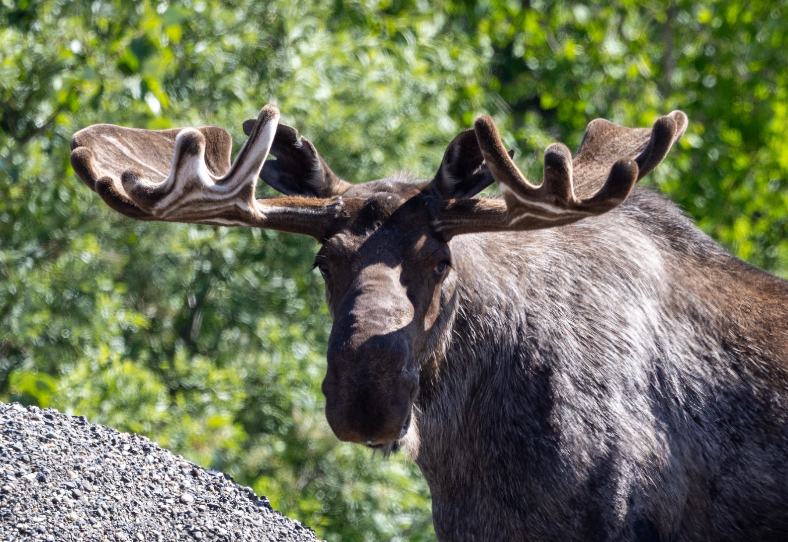
The drive north from Fairbanks provided familiar reminders of Alaska's working landscape. Construction slowed traffic along the Dalton Highway while the Trans-Alaska Pipeline stretched north toward Prudhoe Bay. Moose browsed quietly along roadside ponds, largely indifferent to the steady stream of trucks heading toward the North Slope.
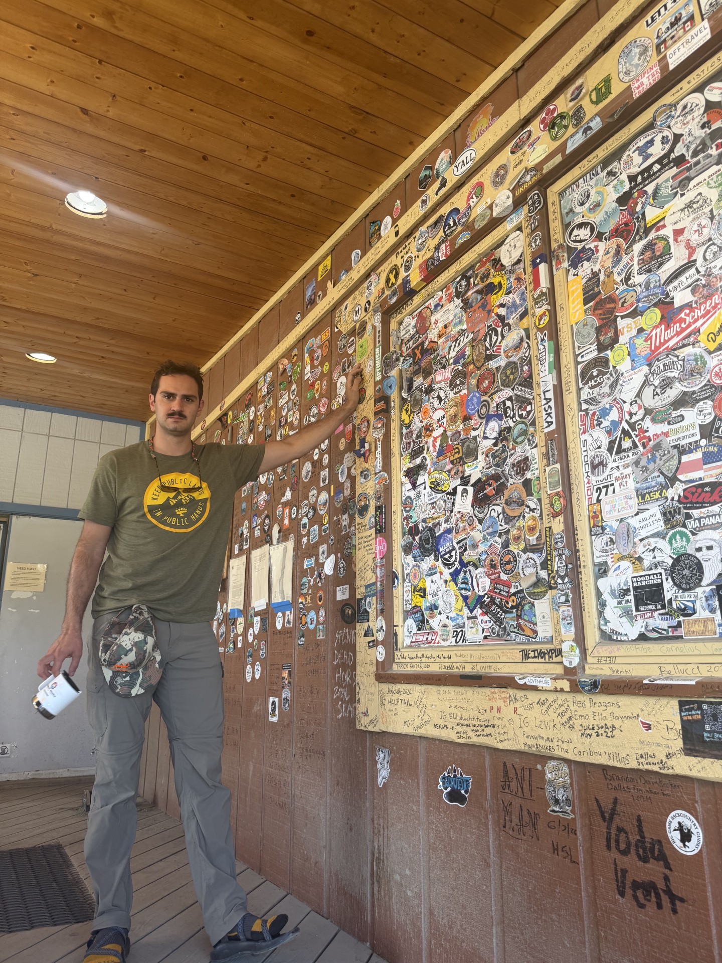
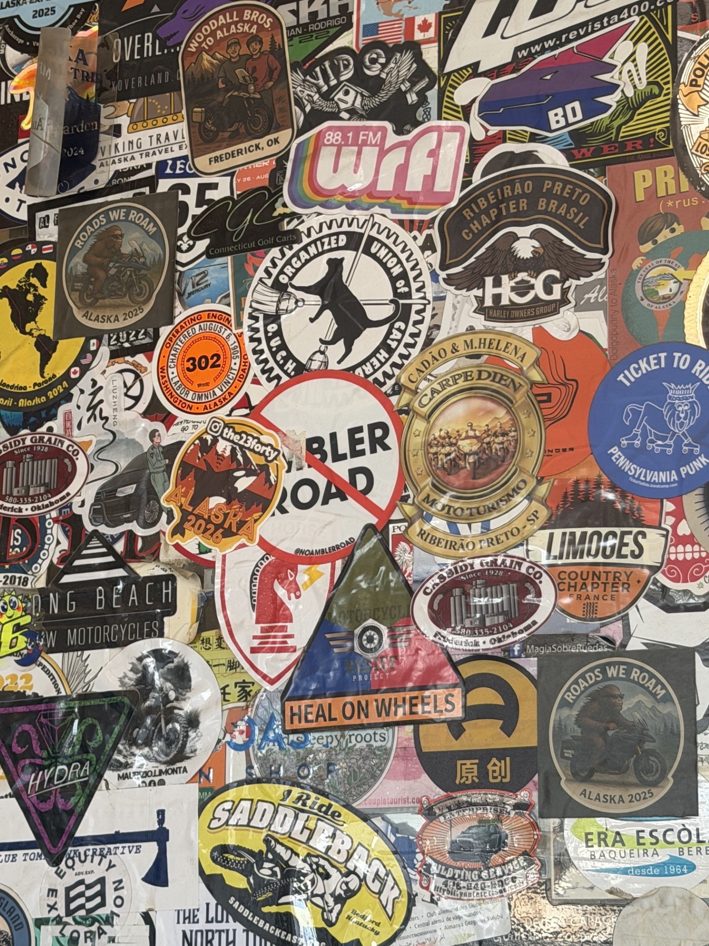
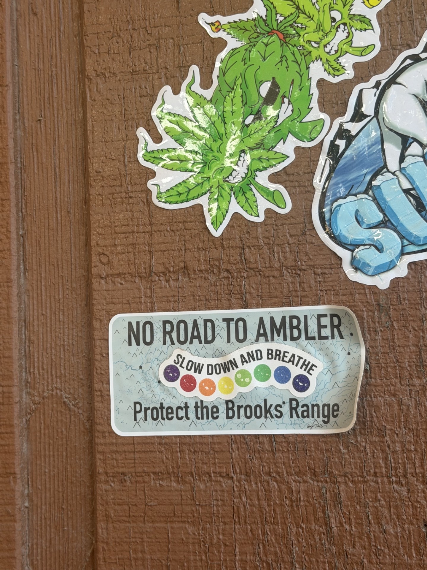
In Coldfoot, conversations naturally drifted toward the Ambler Road. At the truck stop, where travelers fuel up before continuing north or south, a wall covered in stickers reflects decades of opinions left behind by visitors. Among them were several simple messages: "No Ambler Road."
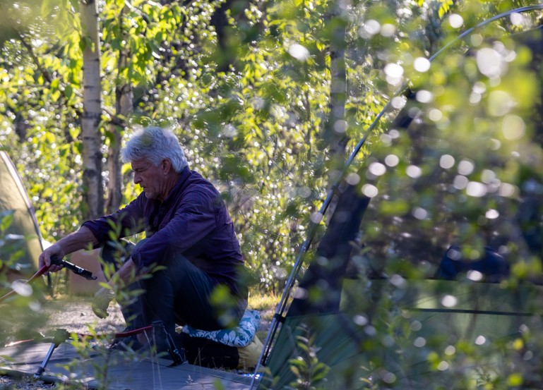
That evening we made camp at Marion Creek Campground beneath the midnight sun, organizing gear, preparing meals, and getting to know one another before launching the next morning. Marion Creek serves as a gateway to the Brooks Range, welcoming hunters, hikers, anglers, photographers, and travelers seeking a few days in one of Alaska's most remote regions. Before long, I ran into someone from Juneau who recognized me from local BHA Pint Nights—a reminder that while Alaska's landscapes are enormous, its outdoor community often feels surprisingly small.
The following morning, we prepared to launch under nearly continuous daylight and unusually warm temperatures. Before we ever pushed away from shore, helicopters carrying sling loads crossed overhead, moving equipment between work sites supporting nearby pipeline and field operations. It was our first indication that industrial activity had become a regular feature of this otherwise quiet country.
Once on the river, however, the pace changed immediately.
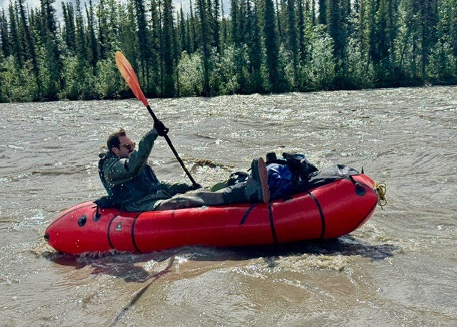
The Middle Fork carried us through broad gravel bars, willow-lined banks, and sweeping views of the Brooks Range. We found Eskimo potatoes growing along the shoreline, shared meals of moose and salmon around camp, and watched evening light linger well past midnight.
The river also reminded us who was in charge.
Cold rain settled over us for much of the second day, slowing progress and leaving everyone soaked while we searched for high ground and dry firewood. On the third evening, steadily rising water had a few of us watching the river through the night to ensure camp remained above the flood line. Thanks to modern technology we had some hydrographic information to base some peak time calculations on, so imminent danger was not at the absolute forefront of our minds, but you must always be vigilant in the backcountry.
These weren't inconveniences so much as reminders that wild rivers still make the rules.
Throughout the trip, however, signs of change were difficult to ignore.
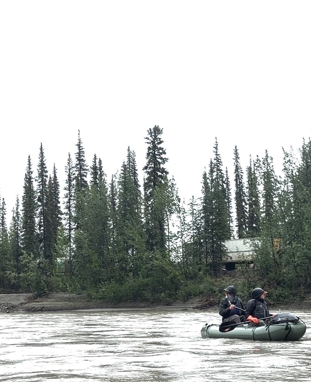
Near Tramway Bar, where previous visitors remembered quiet campsites, active placer mining had returned. Heavy equipment worked nearby while barking dogs rushed the riverbank as we floated past. Trucks, excavators, hose lines, and CAT equipment sat just beyond the willows, framed by fresh flood scars left behind only weeks earlier.
By the time we reached Bettles, helicopters had become a familiar part of each day.
Aircraft crossed the valley repeatedly. Helicopters landed nearby in the black spruce forest, on pre-carved landing zones (LZs) still semi-visible from camp, while residents described Bettles increasingly serving as a staging area for exploration, environmental monitoring, and logistical support connected to activity in the Ambler corridor.
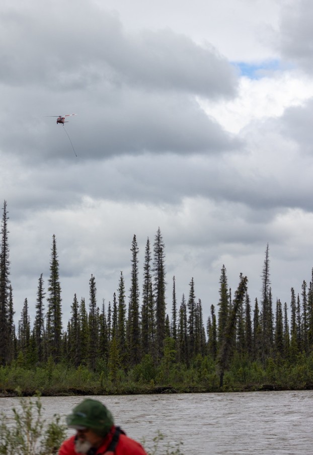
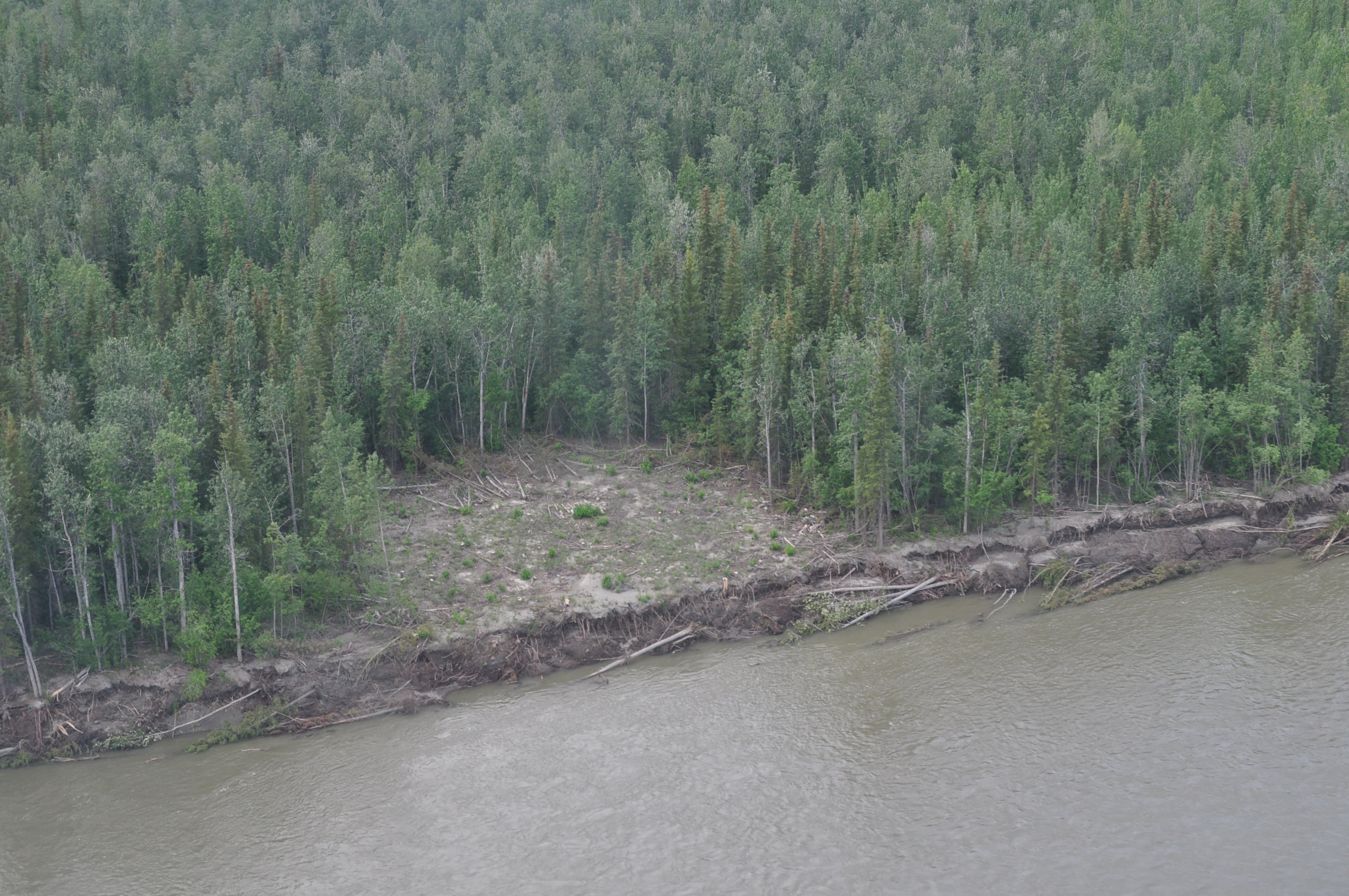
Several members of our group had floated the Koyukuk before and remarked that they had never experienced this level of aviation traffic.
Farther along the corridor, we observed helicopter landing zones, monitoring sites that appeared associated with permafrost studies, field crews traveling between work areas, and activity near potential river crossings and gravel sources. None of this represented road construction itself. They did, however, reflect the growing amount of exploration and data collection taking place as agencies, corporations, and developers continue evaluating the proposed route.
Just as notable as what we saw were the conversations we had.
Hunters, local residents, pilots, and longtime river travelers offered a variety of perspectives, but several common themes emerged. Many observed that discussions about wildlife management, subsistence, and future access are increasingly occurring in anticipation of a road that has not yet been built. Others wondered how much of the ongoing field work is visible to the broader public.
One longtime visitor to the region summed it up simply: "It's not just the road people notice. It's everything that starts happening before the road."
For hunters, access was often at the center of the conversation.
The country surrounding the Middle Fork supports relatively low-density moose populations where distance and limited access naturally influence hunting pressure. Several experienced hunters observed that roads—or even the infrastructure supporting them—could significantly change hunting opportunity. Residents of Bettles spoke about relying on these lands to fill freezers each winter, while others pointed farther north and west, where similar changes could affect both Alaska residents and, in some areas, nonresident hunters.
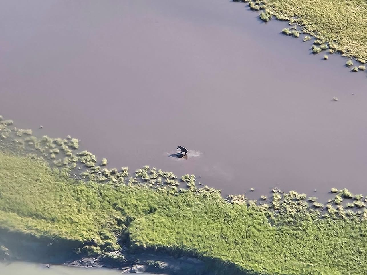
Others focused less on harvest opportunity than on the experience itself. One hunter who has returned to the Brooks Range for years told us that the biggest difference wasn't what he harvested—it was what he heard.
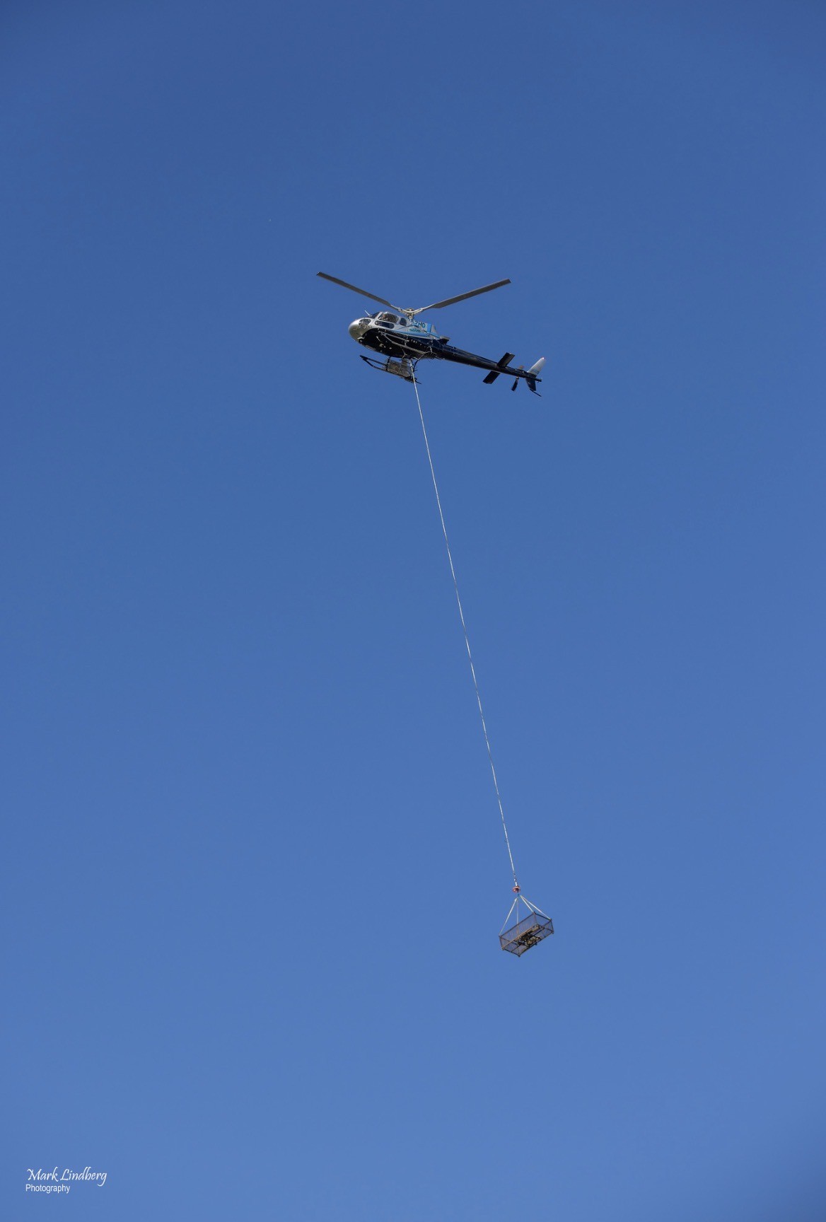
"There are just more helicopters now." This statement isn't a prediction of things to come with the Ambler Road but an observation by a regular user on the changes already happening on the landscape.
Questions about economics also surfaced repeatedly. Several residents wondered how much long-term benefit nearby communities would ultimately see compared to the scale of the proposed development, while others questioned whether the road's primary beneficiaries would be outside Alaska. Those conversations often returned to the same point: weighing potential economic opportunities against changes already becoming visible on the landscape.
Our week on the river also served as a reminder of why places like this continue to matter.
The Brooks Range still offers experiences that have become increasingly uncommon: watching a bear swim across a river (whether you’re hunting it or not), hearing distant echoes carry through an empty valley, finding a quiet gravel bar to call home for the night, or floating for hours without seeing another person or hearing anything but the current and the occasional call of wildlife. These moments are difficult to quantify, but they remain central to Alaska's hunting, fishing, trapping, and outdoor traditions.
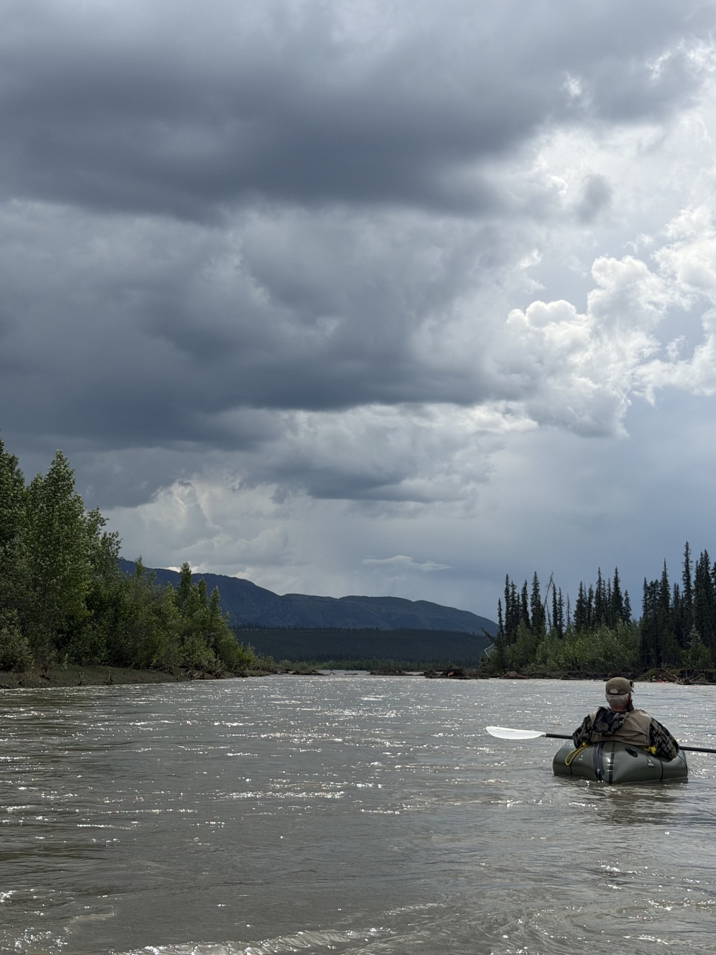
Alaska remains one of the few places where people can experience vast landscapes, genuine solitude, and a way of life shaped more by seasons than by calendars. For generations, that promise has drawn people north. Landmark events—including statehood, the Alaska Native Claims Settlement Act, and the Alaska National Interest Lands Conservation Act—helped shape the Alaska we know today. Yet despite decades of growth and change, much of the Brooks Range continues to offer something increasingly rare: intact country where remoteness remains part of the experience.
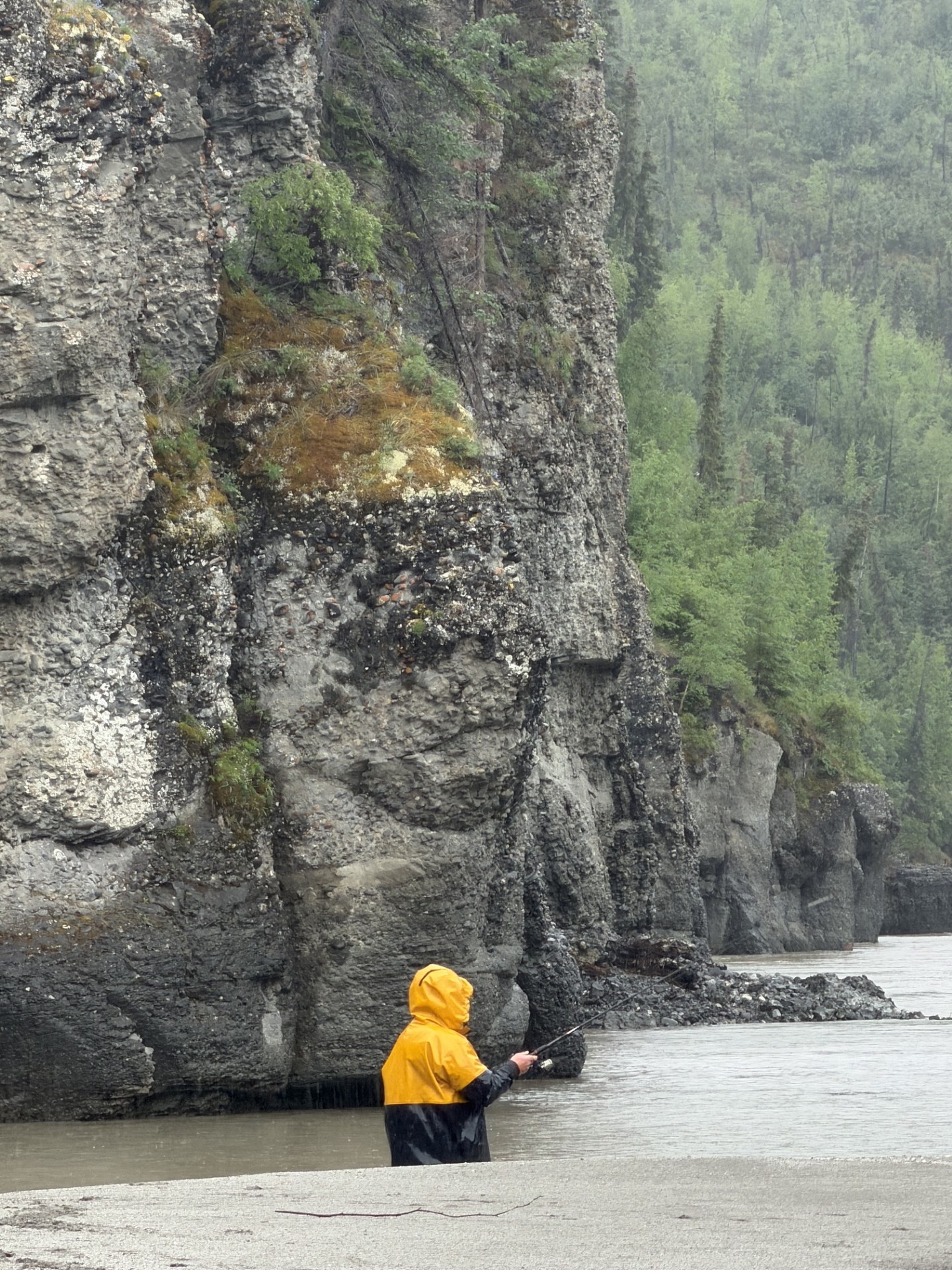
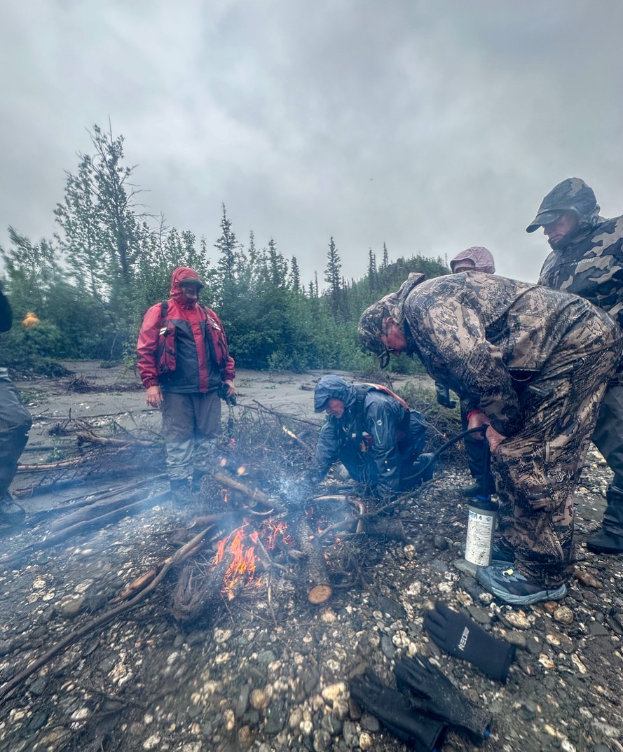
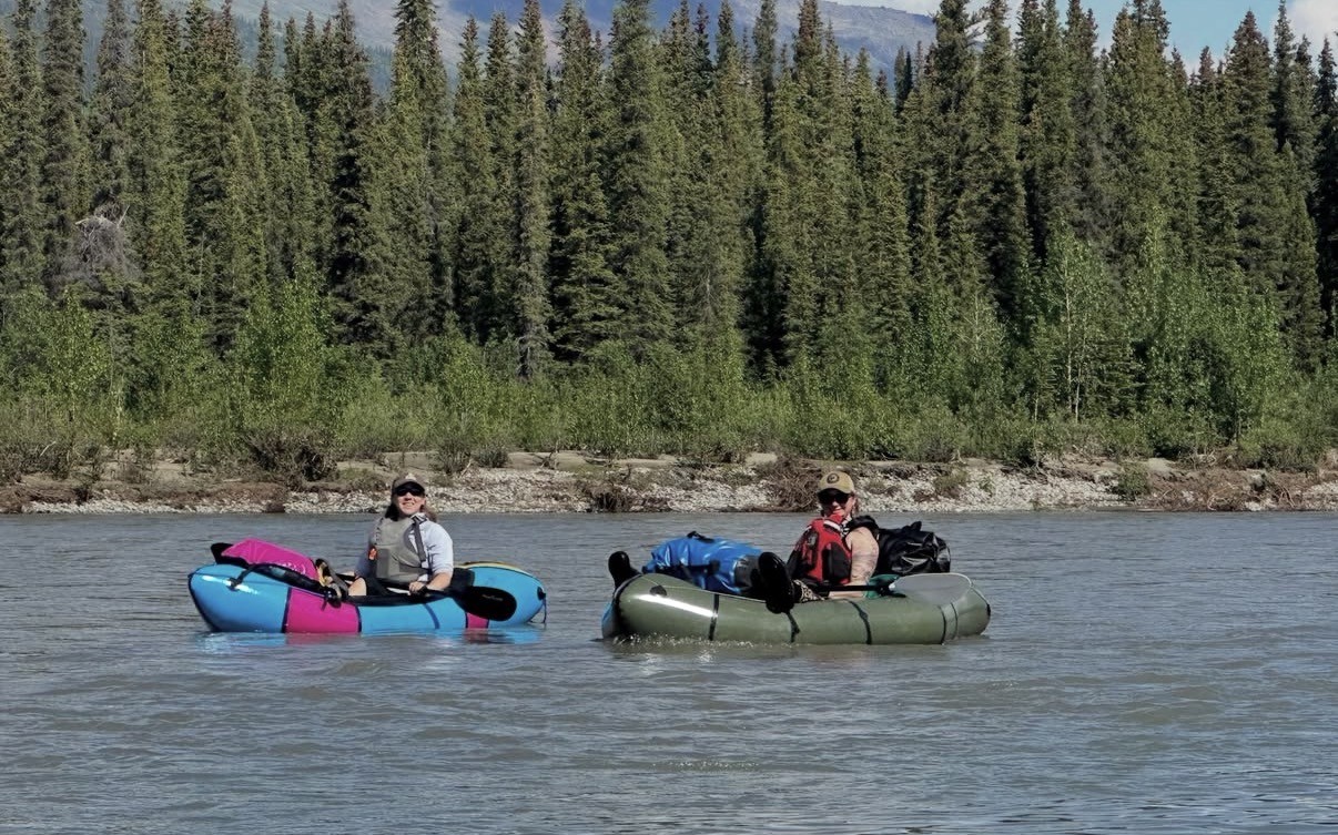
Helicopters, monitoring crews, and conversations in communities like Bettles suggest that change is no longer something discussed only in planning documents. Exploration, environmental studies, and logistical support are already becoming part of the landscape.
Our goal on this expedition wasn't to settle the debate over the Ambler Road. It was simply to document the country as it exists today—to record the places, the people, and the conversations that define this corner of Alaska while larger decisions congruently shape its future.
For now, the Middle Fork of the Koyukuk still flows much as it always has. Rainstorms can transform the river overnight. Gravel bars that serve as camps one evening can disappear beneath rising water the next. Moose move quietly through willow bottoms. Hunters, pilots, river travelers, and local residents continue to experience this country on its own terms—while also noticing changes in the landscape, including increased aviation activity and growing concerns about airspace use in the region.
Whether the landscape looks the same a decade from now remains an open question.
Before the road, we wanted to document what still exists today.
If you are opposed to the Ambler Industrial Road Project, tell your Senators and Represenatives.
931